Satellites & Communication

Grand Canyon from Space: Satellite Views Reveal the Arizona Landmark

1 min read
Grand Canyon from Space: Satellite Views Reveal the Arizona Landmark
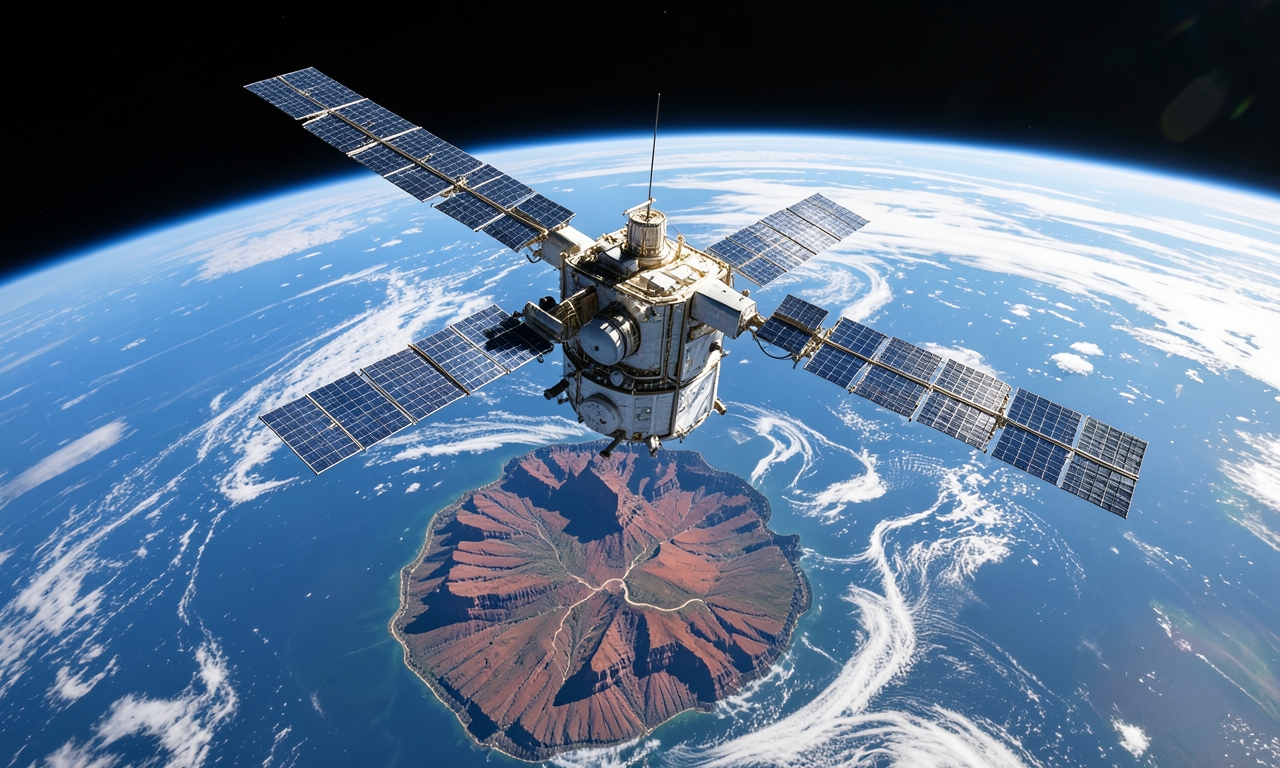
AI-generated illustration
This article was produced with AI assistance and editorially curated from public sources.

Viewing the Grand Canyon from Orbit

Earth‑observation satellites capture the immense Grand Canyon in Arizona, United States, offering a view that emphasizes its depth and length across hundreds of kilometres.

Two separate satellite passes contribute distinct images: one delivers a broad regional overview, while the other zooms in on the canyon’s intricate rock layers, showcasing colour variations that mark different geological formations.

Beyond their visual appeal, these images serve scientific research. Analysts can track erosion rates, monitor changes in the Colorado River’s course, and document long‑term environmental trends within the protected area.

The fusion of high‑resolution optical sensors with infrared measurements reveals vegetation patterns and thermal anomalies, aiding park management and visitor‑flow planning.

Regular satellite monitoring also enables rapid assessment of natural hazards such as wildfires or landslides, providing authorities with timely data to coordinate response efforts.

Frequently asked questions

Wie häufig werden Satellitenbilder des Grand Canyon aufgenommen?

Die meisten Erdbeobachtungssatelliten liefern Daten im Abstand von wenigen Tagen bis zu mehreren Wochen, abhängig von ihrer Umlaufbahn und den jeweiligen Missionszielen.

Welche Sensoren werden für die Aufnahmen verwendet?

Typischerweise kommen hochauflösende optische Sensoren sowie Infrarot‑ und Thermalkameras zum Einsatz, um sowohl Oberflächenstrukturen als auch Temperaturunterschiede zu erfassen.

Wie können die Bilder dem Naturschutz dienen?

Sie ermöglichen die Überwachung von Erosionsprozessen, die Erkennung von Waldbränden und die Planung von Besucherströmen, wodurch Schutzmaßnahmen gezielt umgesetzt werden können.