A View from Orbit
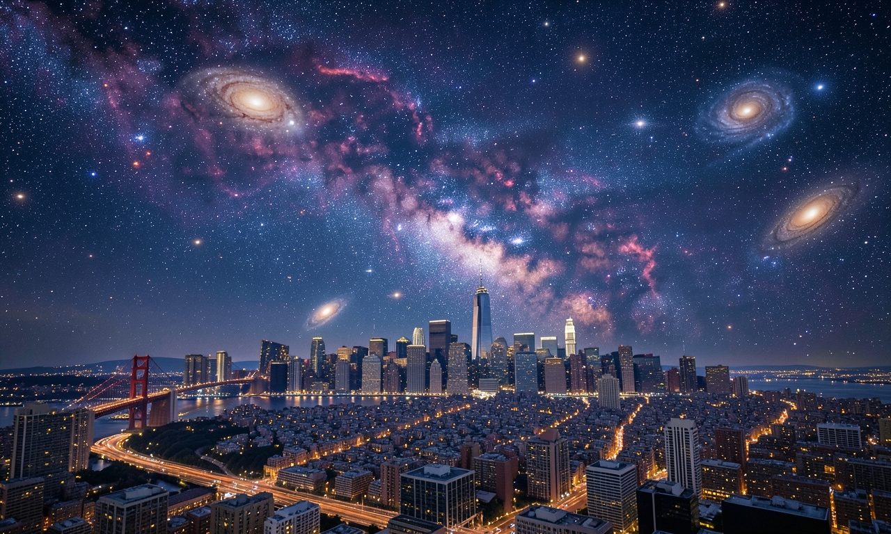
On 27 May 2026 a crew member of the International Space Station (ISS) pointed a high‑resolution camera toward the San Francisco Bay area. The resulting image provides a sweeping perspective of the city’s core, adjacent districts, and the distinctive waterways that define the region.
The Iconic Bridges
The photograph prominently features the two world‑renowned bridges. The Golden Gate Bridge, linking the northern peninsula with Marin County, spans the strait in a striking red silhouette. Further east, the San Francisco‑Oakland Bay Bridge stretches across the bay, connecting the city to Oakland.
Urban Layout and Surroundings
From orbit the dense grid of streets, parks, and residential blocks becomes evident. The characteristic steep streets and the iconic city grid are clearly visible, as are the surrounding hills and the encircling waters of the bay.
Public Significance
Images taken from space help the public appreciate the geographic context and urban development of major metropolises. They illustrate the interplay between natural features and human‑made infrastructure, offering a rare macro view of one of the United States’ most recognizable cities.
Technical Information
- Date captured: 27 May 2026
- Platform: International Space Station (ISS)
- Camera: High‑resolution digital camera with wide‑angle lens
- Resolution: Several megapixels, suitable for large‑format prints