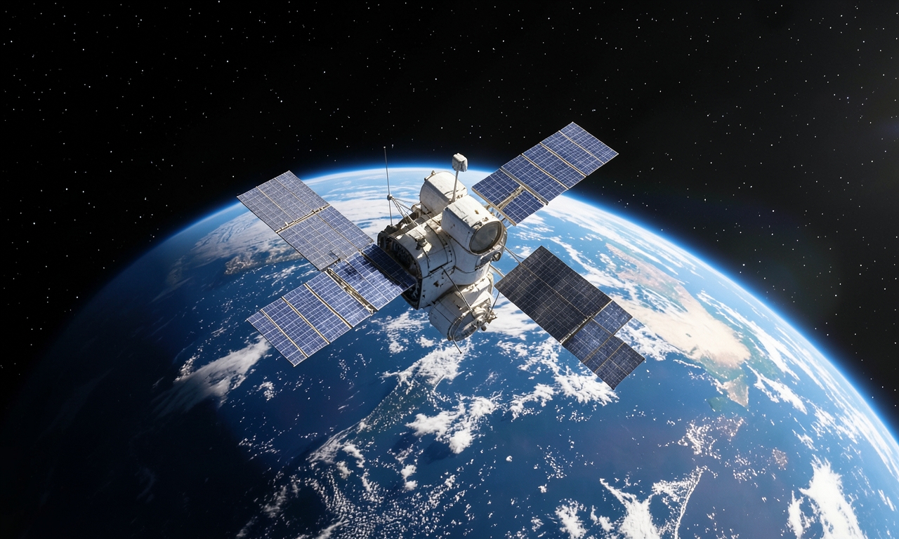
Satellite Observation of Climate Extremes
Earth observation satellites regularly deliver data that makes it possible to track wildfires, drought periods and heatwaves from space. These observations help scientists analyse the spread and intensity of such events.
The European Space Agency ESA provides up‑to‑date images that show how climate change is affecting the Earth’s surface. The image collection is continuously updated to make current developments visible.
By combining multispectral sensors with high‑resolution cameras, changes in vegetation, soil moisture and surface temperature can be detected. These parameters are key indicators of the mentioned phenomena.
Freely accessible data allow authorities, researchers and the public to receive early warnings of hazards and to plan protective measures. In this way spaceflight contributes to better preparedness for extreme weather conditions.
In summary, the steady provision of ESA images demonstrates how space technology helps to observe and understand the impacts of climate change.
In the coming years, additional sensors and improved algorithms are intended to increase measurement accuracy further. This should strengthen the ability to recognise local and global climate trends.