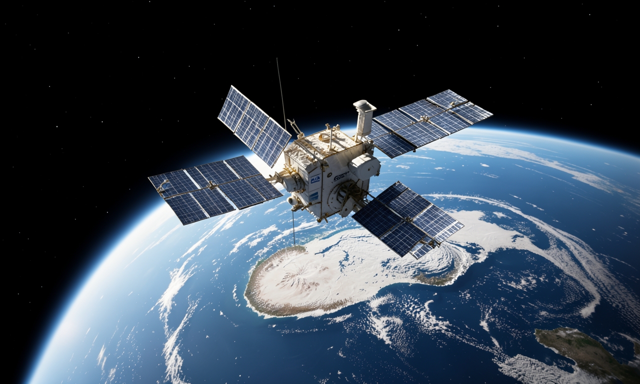
ESA revisits tandem satellite concept
The European Space Agency has revived the practice of operating two satellites in a tight formation, a method first demonstrated thirty years ago. By briefly positioning the two Copernicus Sentinel‑1 radar satellites to fly in close proximity, ESA obtained radar images of the same Antarctic region with a one‑day repeat interval.
How the maneuver was performed
The Sentinel‑1 pair was commanded to overfly the target area almost simultaneously, mirroring the approach used during the ERS‑1 and ERS‑2 tandem mission of the 1990s. That mission showed that glacier motion could be measured with unprecedented precision.
Implications for glacier monitoring
The resulting interferometric radar data allow scientists to track ice flow velocities accurately and to locate the grounding line—the transition between floating and bed‑attached ice—with high confidence. The new test confirms that the tandem technique remains one of the most precise ways to observe glacier dynamics.
Relevance for future observations
Demonstrating a successful one‑day repeat coverage suggests that similar formation flights could be employed regularly to monitor critical ice‑sheet regions. Rapid acquisition of daily images enables quicker detection of swift changes in ice behavior.
Next steps
ESA intends to refine the tandem approach further and explore its application to other Earth‑observation satellites, enhancing the capability to support global climate research.