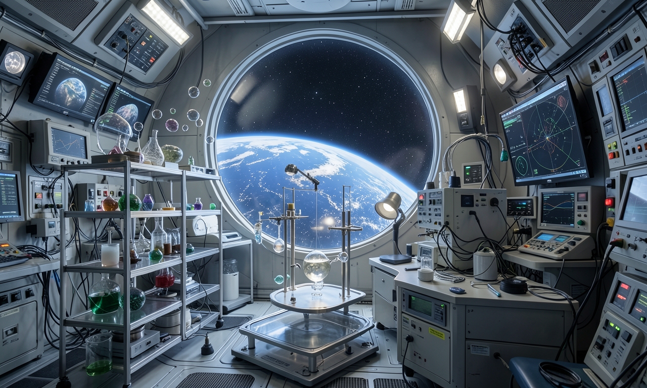
A wide measurement spectrum from atmosphere to ground
Satellites operated by NASA’s Earth Science Division continuously record the transport of atmospheric aerosols, the infiltration of moisture into soils, and long‑term shifts in land cover. These observations are considered crucial for understanding the Earth’s climate system.
Impact on science and policy
The datasets support a range of scientific studies, aid agricultural planning, and provide a factual basis for climate and environmental policy making. International partners rely on the data to refine models and improve forecasts.
Management and coordination
The Earth Science Division oversees a large portfolio of missions covering multiple observation layers. Centralized data centers ensure that measurements are standardized and readily accessible.
Future outlook and upcoming missions
- Enhanced sensors delivering higher spatial resolution
- Integration of AI‑driven analysis tools
- Collaboration with commercial space firms for complementary observations
Ongoing advancements in Earth‑observation programs aim to improve early detection of global changes and support timely responses.