A historic step for weather modelling
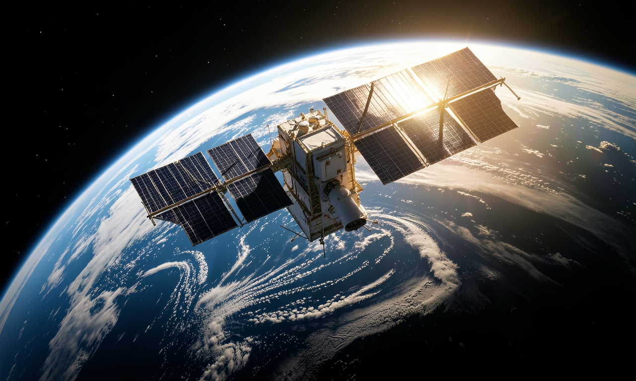
The European Centre for Medium‑Range Weather Forecasts (ECMWF) has begun incorporating measurements from the cloud‑profiling radar aboard ESA’s EarthCARE satellite into its global forecast system. This represents the inaugural use of space‑borne cloud radar data in an operational weather model.
About the EarthCARE mission
EarthCARE (Earth Clouds, Aerosols and Radiation Explorer) was designed to deliver simultaneous observations of clouds, aerosols and radiation. Its key instrument, a microwave radar, provides vertical profiles of cloud structure and density that were previously only obtainable from ground‑based radars.
Practical impact on forecasts
Integrating these radar profiles allows ECMWF to represent cloud distribution with greater fidelity, improving predictions of precipitation, temperature and radiative balance. Early validation shows enhanced accuracy in short‑range forecasts, especially for complex weather systems over oceans.
Implications for climate science
Real‑time global cloud information opens new avenues for climate research. Since clouds and aerosols are critical regulators of Earth’s energy budget, more precise observations benefit both operational weather services and long‑term climate modelling.
Future developments
- Extending data assimilation to additional EarthCARE instruments.
- Collaborating with other meteorological agencies to broaden the approach.
- Long‑term monitoring of cloud evolution to refine climate projections.